About the project
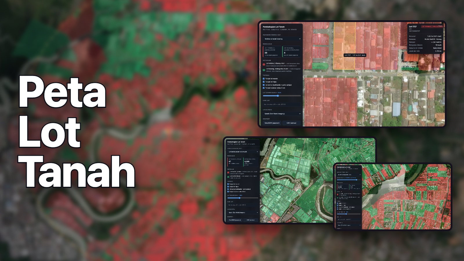
Every cadastral land lot within 5 km of a point in Klang, Selangor — 64,770 of them. A Python pipeline pulls lots from PLANMalaysia iPLAN and buildings from OpenStreetMap, joins them and bakes one data file. Colours lots by built-vs-empty, by size, and by JUPEM area code.
Python ETLLeafletGeoJSONOpenStreetMap